Out around Osby: a battlefield, a redoubt and ancient stones
There are places where history lies in layers, one on top of the other. Osby, in the north of Skåne, is one of them: close to the old border between two kingdoms, on the river Helge å. Here Danes and Swedes fought over the land nearly 400 years ago — and beneath the same woods rest graves that are thousands of years older. Yesterday I walked both layers in a single day. Come along.
The battlefield of Sibbarp
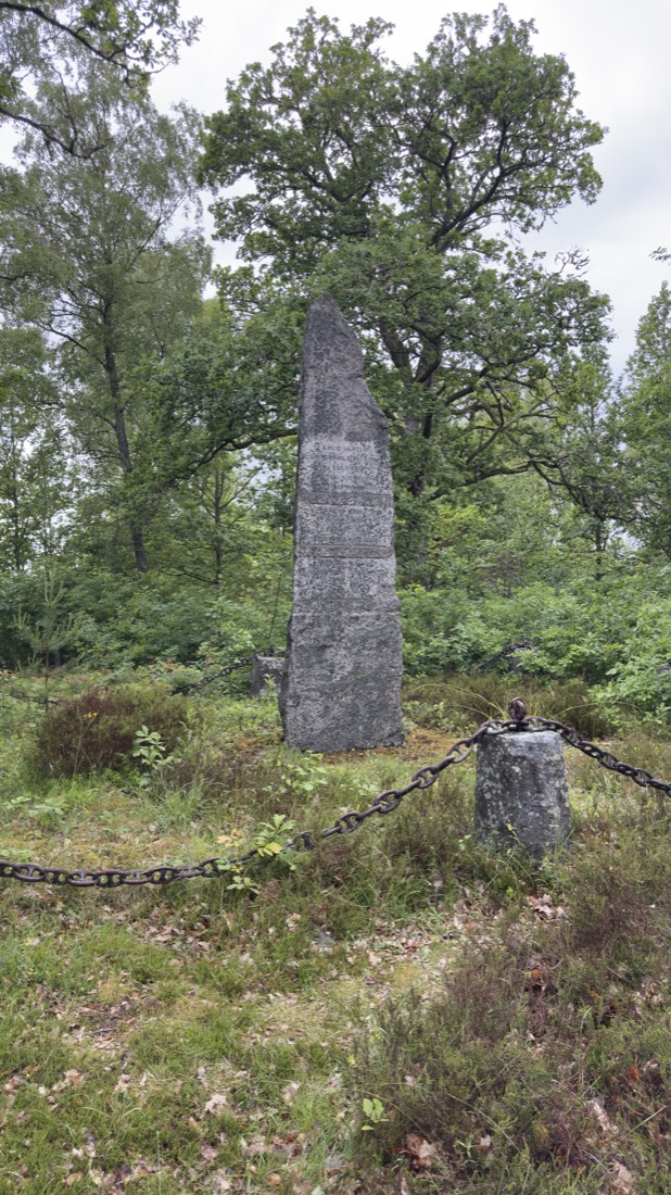
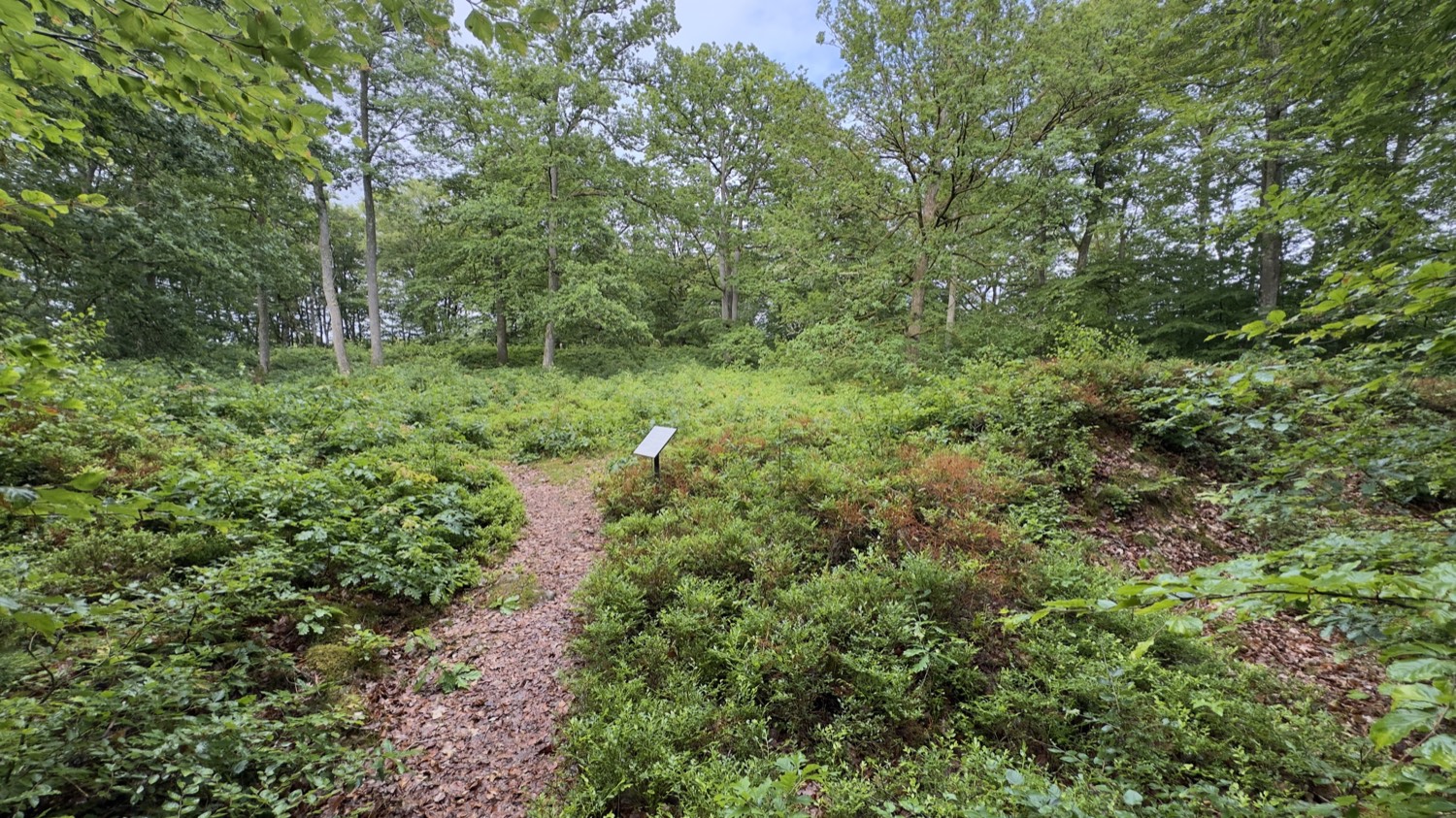
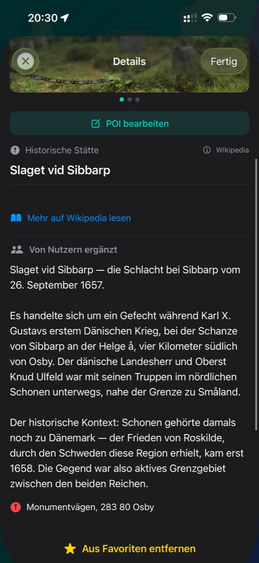
Deep in the forest, on "Monumentvägen" south of Osby, a slender stone stele rises up. It commemorates the Battle of Sibbarp on 26 September 1657 — an engagement during Charles X Gustav's first Danish War, fought by the redoubt on the Helge å, about four kilometres south of Osby. The Danish colonel Knud Ulfeld was moving through northern Skåne with his troops at the time, right by the border with Småland.
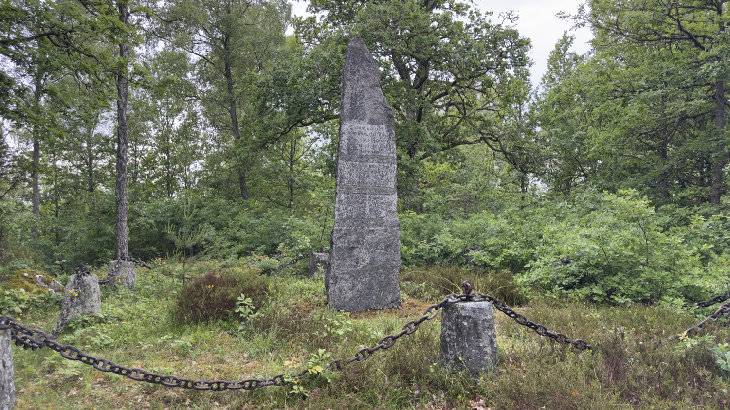
The historical backdrop is what makes the place gripping: Skåne still belonged to Denmark back then. Only the Peace of Roskilde in 1658 handed the region to Sweden. Anyone standing here in 1657 stood on Danish soil, in an active border zone between two realms — and that is exactly why it was fought over.
The silent log house by the memorial
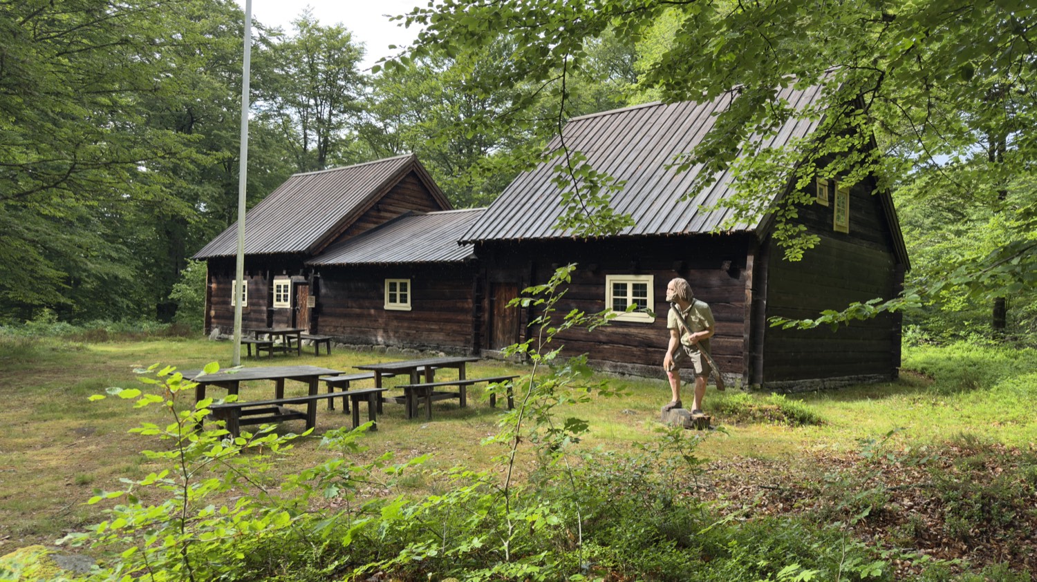
Just a few steps from the memorial stone, in a clearing, stands an old, dark tar-blackened log house of timber. Picnic benches in front, a flagpole — clearly a gathering place where the battle is remembered. The intriguing part for a data collector like me: on the map this building still carries no name, only a bare Wikidata number. Even the big databases have blank spots — and sometimes you simply stand before a piece of history that is still waiting for its entry.
The redoubt of Sibbarp
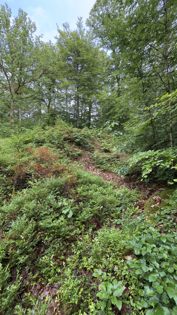
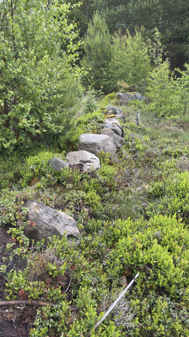
A few hundred metres on lies the Sibbarps skans — also called Osby skans — today almost entirely swallowed by the forest. It is a smaller fortification on the Helge å, just south of Osby. It was built during the Kalmar War (1611–1613) between Denmark and Sweden, probably to guard the crossing of an important road over the river. On the north side of the stream stood the village of Hasslaröd back then, on the south side Sibbarp.
You have to look closely to make out the earthen ramparts among the bilberry and oak leaves. But once you know what you're looking at, the quiet patch of forest turns into a stage: here men dug in, kept watch and defended a border that vanished long ago.
A leap into deep time: the Snoggerör cairn
A few kilometres further, time jumps back by thousands of years. Three sites lie close together here — a small prehistoric landscape in the woods.
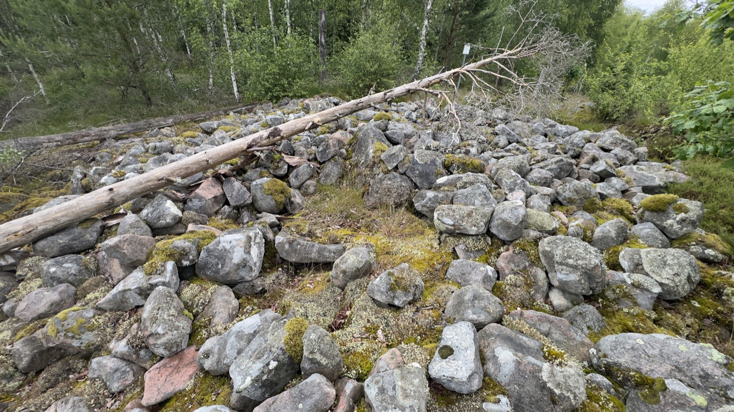
The first is a mighty mound of stones: Snoggerör, a cairn (Swedish: röse), 12 metres across and 1.4 metres high. In its centre lies a large block, 1.7 by 0.5 metres. A röse is a burial form that often reaches back to the Bronze Age — a stone mound raised over a grave. As early as 1795 the mound was called "Snoggerör," and the ridge was known to locals as "Galtabjär."
The burial mound
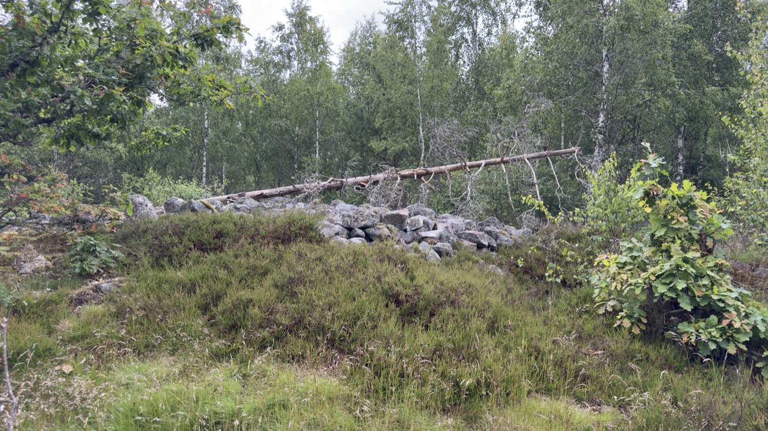
Right beside it, a second mound, 8 metres across and a metre high, built of overgrown, moss-covered stones. The map cautiously calls it a burial mound(?) — with a question mark, because the interpretation isn't certain. To its south-west and south lie three further structures, more likely read as massive clearance-stone walls. That very uncertainty is something I love: not everything is finally explained, and you stand there puzzling over it yourself.
The house foundations
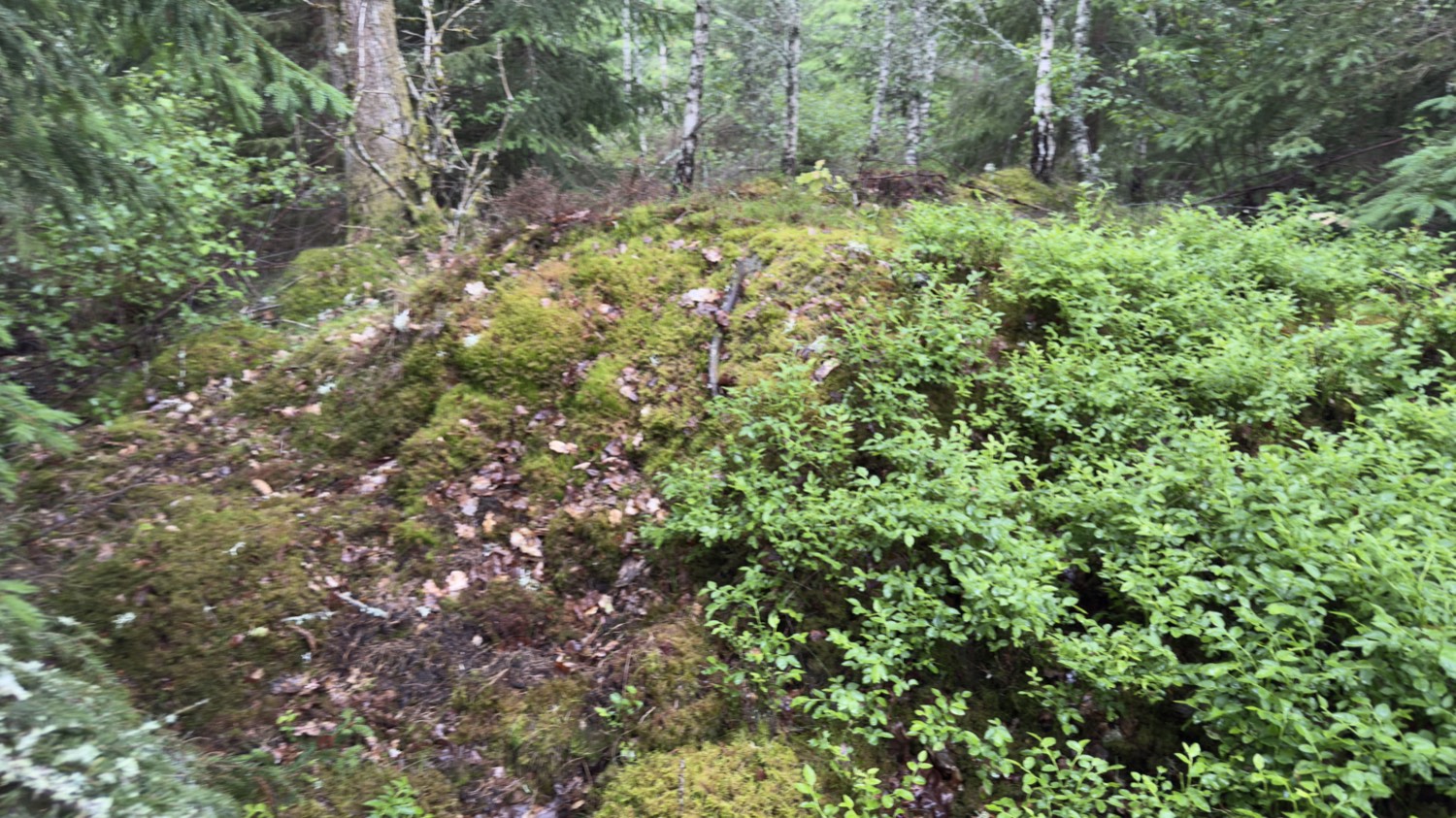
The third site is the quietest — and perhaps the most moving. Among birches and bilberry lie the remains of two house foundations, roughly 10 by 5 and 8 by 5 metres, both running east-west. Along the flanks the stone footings still stand out clearly; at one corner archaeologists found the remains of a hearth. Whether prehistoric or medieval is unresolved — but people lived here, cooked over the fire, went about their daily lives.
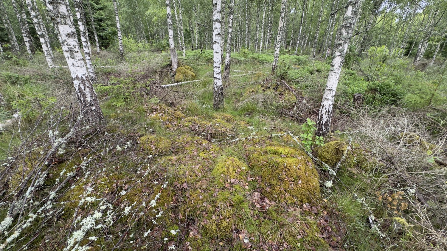
Cairn, burial mound and house foundations all lie within the same protected zone — a whole prehistoric ensemble within a few hundred metres. Walk through these woods without knowing, and you see only moss and stones. Know it, and you walk through a landscape that has been telling stories since the Bronze Age.
How I find places like these at all
Honestly? I'd walk straight past most of these spots. No sign, no car park, no marker — the redoubt is a hill under trees, the burial mound a heap of moss. The tool that turns a walk into a journey through time is a good map.
For that I use the PrimeMap app. It shows me battlefields, redoubts and archaeological sites as their own pins right on the map — with type, dating and the original description from the Swedish heritage register (Riksantikvarieämbetet/Fornsök), translated into my language. So I know in advance what's waiting for me, and I find places that would otherwise stay invisible.
Discover the deep past on your doorstep
Over 680,000 archaeological sites — plus castles, ruins and forgotten places across Europe, with descriptions in your language. Free for iPhone & Android.